How Geofencing Improves Last-Mile Delivery

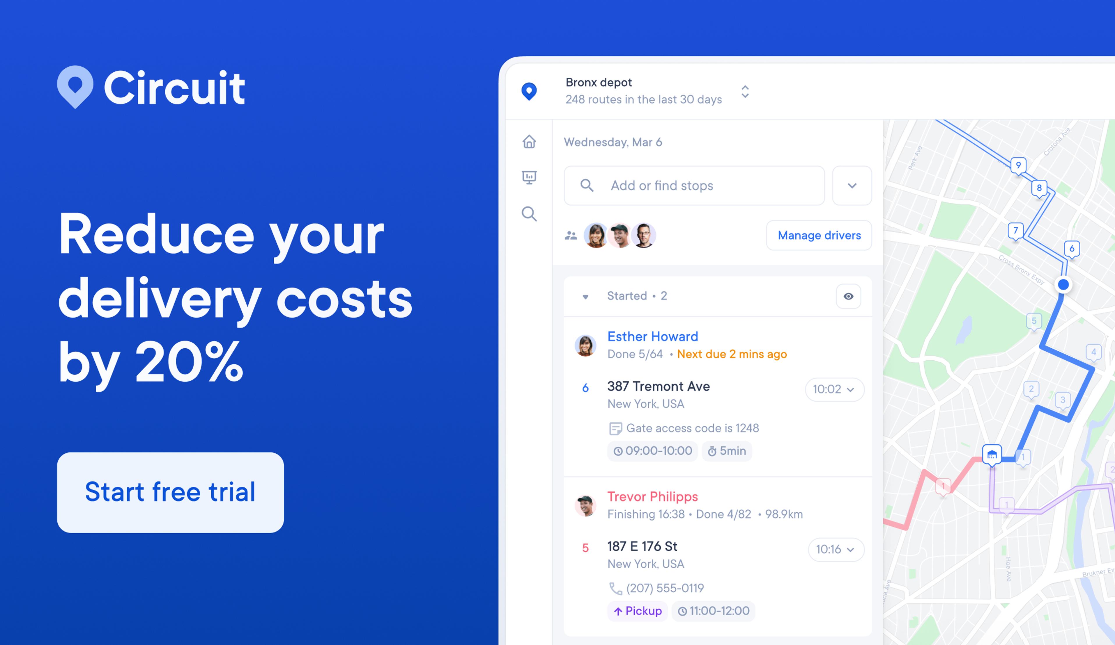
Want your team to deliver faster and more efficiently? Circuit for Teams makes it easy to optimize routes for multiple drivers, get proof of delivery, and keep your customers updated.
Customers today have high expectations when it comes to delivery.
We surveyed 1,000 Americans and learned a lot about what customers want.
Sixty-six percent said they would stop ordering from a company or delivery app following a late delivery, while 73% claimed they would order more frequently following an early or timely delivery.
Speed is essential.
But customers also want to be informed throughout the process.
In fact, 96% of survey respondents said they track their orders online, and 43% said they track deliveries daily.
Geofencing is a key technology that can help you meet customer expectations — creating a virtual boundary around a physical location using GPS technology.
This boundary can be used to trigger an action, such as sending a notification, when a device enters or leaves the area.
If you’ve ever received a push notification for a restaurant near you or a coupon or special pricing for a nearby store, that’s geofencing in action.
But you can use geofencing for more than just location-based marketing.
I share the many ways geofencing can improve last-mile delivery and take your process to a new level of efficiency.
More efficient driver management
If you’re managing multiple drivers, chances are you’re always looking for ways to make the process easier and more efficient.
Geofencing can help.
Geofencing is a location-based service that uses GPS, radio frequency identification (RFID), cellular data, or Wi-Fi to trigger an action when a team member or vehicle leaves a geographic area.
Managers can use geofences to track driver location and estimated time of arrival (ETA) in real time.
You can use this information to optimize routes, keep up with timely deliveries, and update customers on each package’s expected arrival time.
And if there’s a delivery delay, you can quickly identify which driver is behind and reroute another driver to prevent further delays.
Geofencing gives you real-time insights so you can adjust your strategy for better route scheduling and planning.
Because geofencing can automatically update the driver’s status, you can easily check that your delivery drivers are on task and the delivery schedule is on track.
But geofencing goes beyond tracking driver activity.
It’s really about using your resources more efficiently, avoiding unnecessary trips, monitoring productivity, improving time management, and streamlining communication between managers and drivers.
For example, you can use the data collected by a virtual perimeter to improve the accuracy of arrival times.
Because geofencing can automatically gather data when delivery drivers enter and leave the virtual perimeter, a dispatcher can gather data on how long the average delivery takes and if the estimated arrival time and actual arrival time match up.
When there’s a consistent discrepancy, the company can adjust delivery estimates so they are more accurate.
This can lead to a better customer experience and fewer missed or late deliveries.
It can also help you identify areas needing improvement, such as which drivers are taking longer to complete their routes.
Accurate delivery ETAs
Whether they’re waiting on fresh flowers to arrive at their mom’s for Mother’s Day, taking the day off work to receive furniture or appliance delivery, or just looking forward to receiving their purchase, customers want accurate ETAs.
If you have a delivery app, geofencing can be used to trigger notifications to customers when their order is out for delivery and when they can expect to receive it.
This automation takes the pressure off you while keeping your customers in the loop.
To add to the functionality, location services give managers the information they need for quality control.
For example, imagine having an important delivery out and your driver marks themselves as “arrived” despite being five minutes away from the dropoff location.
Not cool, but totally avoidable with geofencing.
Because the location data is shared with you at all times and you’ve set up a geographic boundary, you’ll know when the driver has actually arrived because you’ll receive an alert when they reach the specific location.
Now, you and your customer can both know with certainty when the delivery will be made, and you can avoid any potential customer service issues.
Building customer trust, loyalty, and satisfaction are some of the benefits of geofencing.

Get real-time updates on drivers
Tracking your drivers is essential to keeping your business running smoothly.
But it can be difficult to stay on top of everything when you don’t have a way to get real-time updates.
There are many options for tracking your drivers.
For example, with Circuit for Teams, you’ll have access to real-time tracking with live route progress on all your drivers and route optimization so they can finish their delivery routes faster.
Gone are the days of relying on text messages for location updates.
Your drivers can keep their eyes on the road and focus on their duties when automation takes center stage.
Your developers can set up an application programming interface (API) to create a virtual fence around delivery locations that can send push notifications to customers.
These same updates can help you manage your drivers.
You can set up boundaries for each driver and receive notifications when they enter or leave a certain area.
This can help you keep better track of their location and make sure they’re following the most efficient route.
Get detailed data-analytics and insight
Metrics are your friend in the delivery world.
They can hold the key to unlocking operational efficiencies and improving your overall business.
But if you don’t have access to the data or can’t make sense of it, it’s not doing you any good.
Geofencing gives you detailed data analytics and insight that can help you improve your business.
For example, you can see how long each driver spends at each stop and optimize their routes accordingly.
It’s easy to understand why geofencing has become the latest marketing strategy — learning more about how customers behave offers valuable insights.
The same goes for last-mile delivery.
Gaining insights into your delivery drivers’ routes, activities, and locations can help you improve your business.
Improved safety for drivers
In the delivery world, shit happens.
Real-world situations pop up. Traffic, accidents, delays — you name it.
Keeping your drivers safe should be your top priority.
Geofencing can help protect your drivers and vehicles by sending alerts when a vehicle is outside geofenced areas.
This could be a sign of vehicle theft, towing, or a driver who’s gone rogue on company time.
This way, you can send help immediately and avoid any potential problems.
Better cost-efficiency
Operational costs can run the gamut, from choosing packaging to navigating transportation costs to finding route planning software for your delivery team.
Geofencing is one way to improve cost-efficiency by helping maintain your vehicles.
Wear and tear, maintenance and repairs, fuel costs, and breakdowns ƒcan all add up.
With geofencing, you can monitor your vehicles in real time and get alerts when they’re outside a certain area or geofenced boundary.
Imagine you have a delivery driver who’s using a company vehicle to run personal errands.
Not only is this taking up their time, but it’s also adding miles, using fuel, and putting wear and tear on the vehicle.
With geofencing, you can get alerted when vehicle misuse happens and take action.

How does geofencing work?
When people think about geofencing, they might think about mobile marketing.
This is when you enter a geographical location and get a text message, notification, or social media ad on your phone.
Geofencing for last-mile delivery can be a little confusing.
What do those two things have to do with each other?
The overlap lies in how geofencing works.
In both use cases, a geofence is created by drawing a virtual boundary around a real-world location using GPS coordinates, cell tower triangulation, radio frequency identification (RFID), Bluetooth, or some combination.
The main difference is in how the geofence is used.
With geofencing marketing, the geofence triggers an action, like sending a notification or text message.
With last-mile delivery, the geofence tracks vehicles or drivers.
It does this by setting up an alert system that sends notifications when a team member or truck enters or leaves a geofenced area.
For example, you can set up an alert to notify you when a driver arrives at a delivery location.
Let’s break it down:
- The manager sets up a virtual fence around a geographic area related to a particular delivery address or location.
- The drivers have a mobile app or GPS tracker that works with the geofencing software. (Think of it like Google Maps with superpowers.)
- As the driver continues their route, the manager can see when they enter and leave the geofenced areas in real time.
- When the driver enters or leaves the geofenced area, it triggers automated processes like alerts to the manager, text messages or emails to the customers, and arrival time stamps for internal tracking.
Example of geofencing
Let’s say you want to know the average time your drivers take to complete each delivery.
With geofencing, this can all be automated.
As your drivers go about their day, geofencing can help log the delivery times and gather data for you.
Let’s say you have five drivers doing 10 stops a day.
You plug in the delivery addresses and create a virtual beacon at each location.
As the drivers go about their day, you’re notified as they reach each specific location.
With the help of geofencing, you can collect data on each of the 50 stops, get an accurate time stamp on the deliveries, and determine the average delivery time across your team.
Optimize last-mile deliveries with geofencing and route optimization software
Now that you have a better idea of the benefits of geofencing and how it works, it’s easy to see how you can use it to optimize last-mile deliveries.
Geofencing is a great option if you’re looking for a way to automate your delivery process and make things more efficient.
You can track your drivers, avoid delays, identify vehicle misuse, gather data, and improve customer satisfaction.
And when you combine it with route optimization software, you can take your delivery game to the next level.
Route optimization software considers things like traffic, weather, and road closures to create the most efficient delivery route possible.
Circuit for Teams makes it easy to optimize multi-stop routes for your entire team.
Plus, you can get proof of delivery and automatic delivery updates for your customers thanks to the magic of geofencing technology.